Taohuayu
Taohuayu is a scenic area in Zhengzhou, China.
Visitor information
- Also known as
- 桃花峪
- City
- Zhengzhou
- Coordinates
- 34.9468242, 113.4873558
About Taohuayu
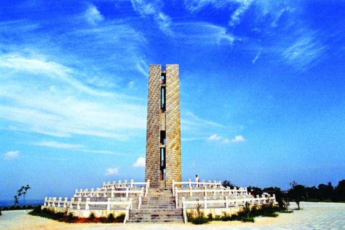
Taohuayu, located in Guangwu Town, Xingyang, Zhengzhou City, Henan Province, is the geographical boundary between the middle and lower reaches of the Yellow River. It was called Senglang Valley in ancient times because of the prosperous peach groves on both sides of the strait. Senglang, an eminent monk in the Jin Dynasty, once built Zhaocheng Temple here. It is located at the junction of the second and third level ladders in China's terrain. There are existing ruins such as Di Mu Zhuang from the Tang Dynasty and Aocang City from the Qin Dynasty. The delineation of demarcation points began in geography textbooks in 1933 and was officially confirmed in the "Technical and Economic Report on Comprehensive Utilization Planning of the Yellow River" in 1954. After many adjustments to the textbooks, it was resumed in 2013. The boundary monument was built in 1999 and completed in 2000.
Photos
More attractions in Zhengzhou
All attractions in Zhengzhou · Local guides in Zhengzhou
Frequently asked questions
How do I visit Taohuayu with a local guide?
Open the Zhengzhou page on MeetPanda, choose a local guide, and send your date. The guide buys tickets, plans the order with nearby sights and explains what you are seeing.