Pindingshan Volcanos Scenic Area
Pindingshan Volcanos Scenic Area is a scenic area in Xilinhot, China.
Visitor information
- Also known as
- 平顶山市
- City
- Xilinhot
- Coordinates
- 43.6387442, 116.1038803
About Pindingshan Volcanos Scenic Area
Pingdingshan City, in ancient times, was the country of Ying. In ancient times, the country of Ying had an eagle as its totem. "Ying" and "Eagle" are interchangeable, so it is known as the "Eagle City". It is a prefecture-level city under the jurisdiction of Henan Province. The terrain is high in the west and low in the east. It is spread in a trapezoidal shape, with 800 miles to the west. Funiu Mountain, bordering the Huanghuai Plain to the east, is located at the edge of the warm temperate zone and the north subtropical climate, with cold winters and hot summers, large annual temperature differences, small precipitation, and four distinct seasons, with a total area of 7,910 square kilometers. As of January 2026, Pingdingshan City governs 4 districts and 4 counties, and manages 2 county-level cities. As of the end of 2025, Pingdingshan City has a permanent population of 4.844 million.
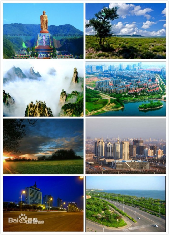
Photos
More attractions in Xilinhot
All attractions in Xilinhot · Local guides in Xilinhot
Frequently asked questions
How do I visit Pindingshan Volcanos Scenic Area with a local guide?
Open the Xilinhot page on MeetPanda, choose a local guide, and send your date. The guide buys tickets, plans the order with nearby sights and explains what you are seeing.