Red Stone Forest National Geopark
Red Stone Forest National Geopark is a scenic area in Jishou, China.
Visitor information
- Also known as
- 湖南古丈红石林国家地质公园
- City
- Jishou
- Coordinates
- 28.7595238, 109.8321139
About Red Stone Forest National Geopark
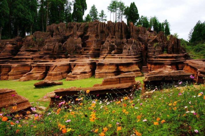
Hunan Guzhang Red Stone Forest National Geopark is located in the northwest of Guzhang County, Xiangxi Tujia and Miao Autonomous Prefecture, Hunan Province, China. It is bounded by Youshui River and faces Furong Town (Wangcun) in Yongshun County across the river. The geographical coordinates of the park are 109°44′49″~110°01′25″ east longitude and 28°38′16″~28°46′08″ north latitude. It covers an area of 261.12 square kilometers and the main geological heritage area is 53.08 square kilometers. Hunan Guzhang Red Stone Forest National Geopark includes three core geological heritage protection areas: the Red Stone Forest Karst Landform Scenic Area, the Zuolongxi Canyon Landform Scenic Area, the Qifeng Lake Youshui River Water Body Landform Scenic Area, and the Cambrian Guzhang Order "Golden Nail" Protection Area.
Photos
More attractions in Jishou
All attractions in Jishou · Local guides in Jishou
Frequently asked questions
How do I visit Red Stone Forest National Geopark with a local guide?
Open the Jishou page on MeetPanda, choose a local guide, and send your date. The guide buys tickets, plans the order with nearby sights and explains what you are seeing.